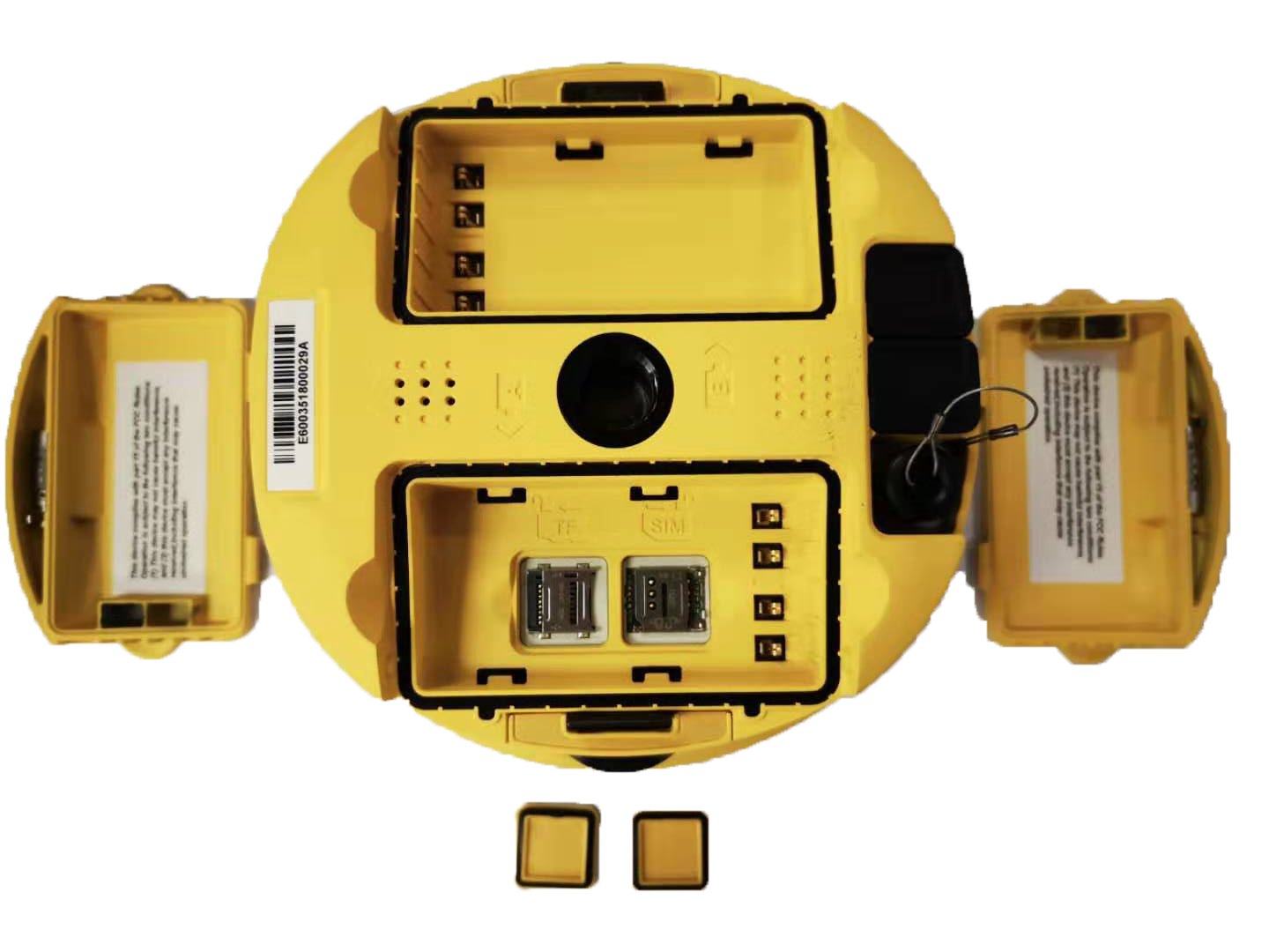
High-accuracy GNSS receivers like eRTK10, eRTK20, eRTK25, E800 & more.
Precision-based Total Stations for surveying & construction mapping.
Permanent high-accuracy correction network for RTK applications.
Advanced 3D mapping with handheld and mobile SLAM devices.
Intelligent grade-control solutions for excavation and roadwork.
SupPAD 4.2, GeoSolution & data processing tools for survey workflows.