We provide high-quality GNSS receivers, Total Stations, CORS devices and survey instruments on affordable rental plans. Ideal for short-term or long-term surveying and mapping projects.
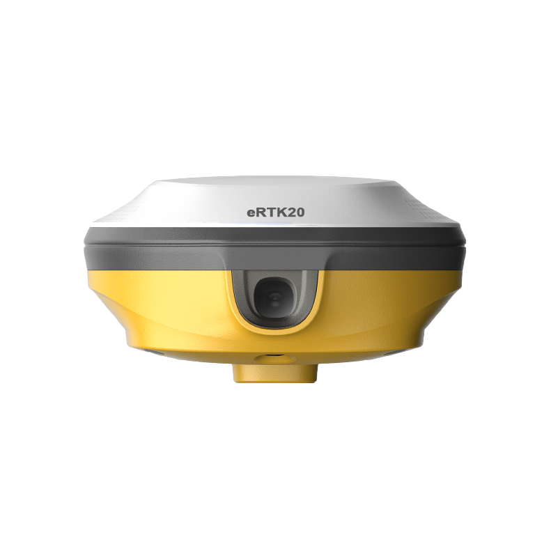
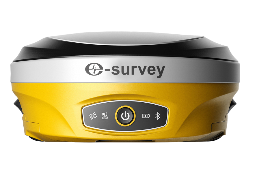
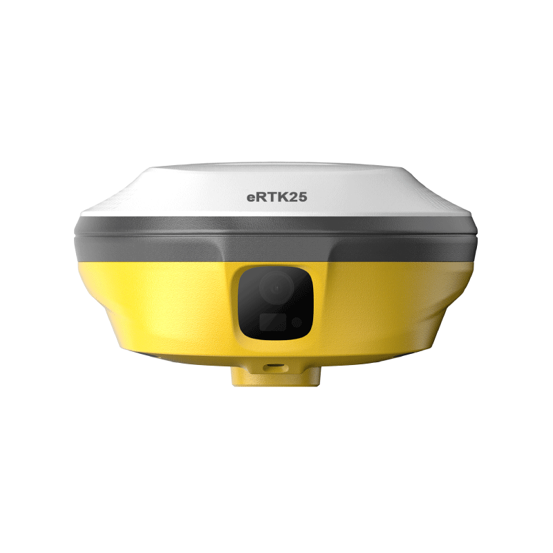
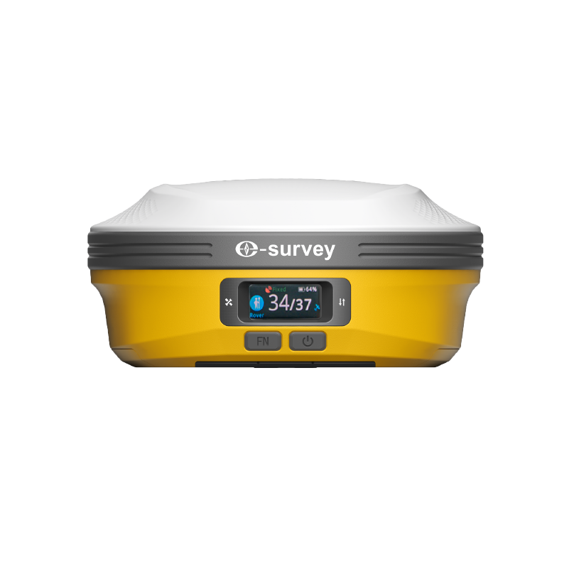
GNSS RTK Receivers (eRTK Series, E600, E800)
CORS & GIS field devices
Intruments
GNSS RTK Systems
High-accuracy GNSS receivers like eRTK10, eRTK20, eRTK25, E800 & more.
Total Stations
Precision-based Total Stations for surveying & construction mapping.
CORS System
Permanent high-accuracy correction network for RTK applications.
SLAM Technology
Advanced 3D mapping with handheld and mobile SLAM devices.
Machine Control
Intelligent grade-control solutions for excavation and roadwork.
Software Solutions
SupPAD 4.2, GeoSolution & data processing tools for survey workflows.